Quick summary
- The guided bus runs an 11 hour day from Bergen, meeting outside the Tourist Information at 07:50 for an 08:00 start.
- The tour costs from 311.47 USD per person and includes the Naeroyfjord cruise ticket, Tvindefossen and Stegastein Lookout admission.
- The inland road leg from Bergen to Flam is about 166 km and about 2h32 of driving, following the E16 to Voss and then road 7.
- The two public alternatives are the train via Myrdal or the Norled express boat, which takes 5.5 hours one way from Bergen.
- Free cancellation applies up to 24 hours before departure, with a full refund, and the day needs good weather to run.
- Top choice Guided road route By road, part of the E16 leg Voss to GudvangenRoad 7, valley descentGudvangen to FlamBy water on the fjordTotal one way timeAbout 11 hours round tripStegastein LookoutIncluded in tour priceTvindefossen stopAdmission includedNaeroyfjord waterCruise ticket includedDeparturesOne guided departure daily Check availability
- Train via Myrdal Bergen Line rail Voss to GudvangenNot on this routeGudvangen to FlamRail via MyrdalTotal one way timeAbout 2h48 to 4h30Stegastein LookoutNot includedTvindefossen stopNot includedNaeroyfjord waterSeen from the rail lineDeparturesAbout 4 a day See this tour
- Norled boat Not applicable Voss to GudvangenNot applicableGudvangen to FlamOpen water sailingTotal one way time5.5 hours [1]Stegastein LookoutNot includedTvindefossen stopNot includedNaeroyfjord waterThe main route [1]DeparturesOne a day each way [1] See this tour

Driving through the Laerdal Tunnel, the world’s longest road tunnel with a length of 24.5 km, will allow you to enjoy a wonderful round trip.
Which version of the route
Included in the tour
- Air conditioned bus for the full day
- Admission to Tvindefossen
- Admission to Stegastein Lookout
- Naeroyfjord cruise ticket
- Live English speaking guide throughout
Not included anywhere
- Food and drink at every stop, on every option
- Alcohol may not be carried in the vehicle
- Train and boat fares if you travel independently
- Tolls of under 100 NOK on the driving route [3]
What the day actually covers
This is a loop through water and mountain that starts and ends in central Bergen. The guided bus leaves from outside the Tourist Information at 07:50 for an 08:00 start and returns roughly 11 hours later, so the whole day is accounted for. A live English speaking guide stays with the group throughout, and the vehicle is air conditioned for the long stretches between stops.
Four things are inside the price. The bus runs all day, admission to Tvindefossen is covered, admission to Stegastein Lookout is covered, and the Naeroyfjord cruise ticket is included. Everything else is on you. Food and drink at every stop are excluded, and alcohol may not be carried in the vehicle. Children under 4 are not allowed on the tour, and the day needs a minimum number of travellers as well as good weather, or it is refunded or rescheduled.
The road out of Bergen toward Voss
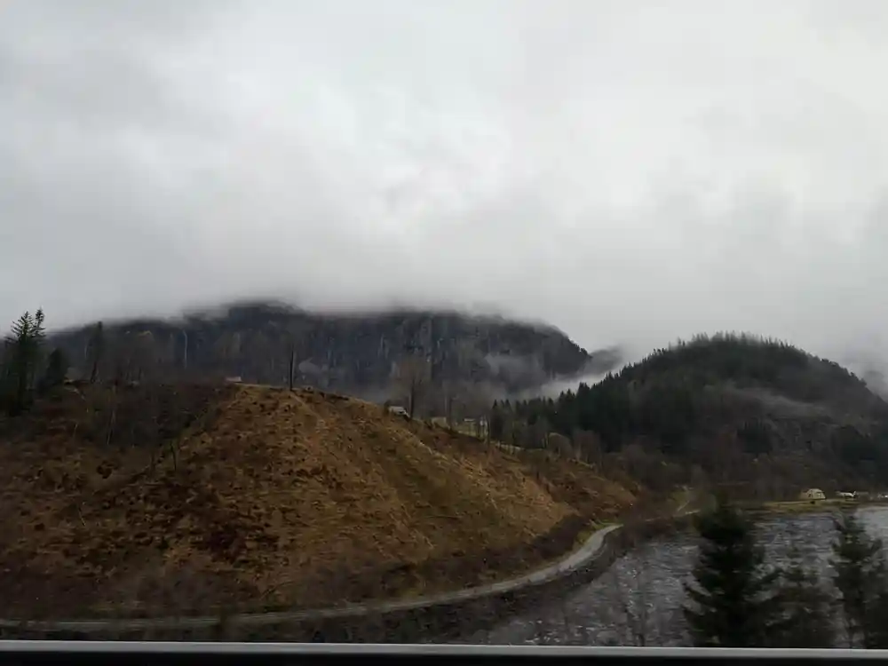
The first leg is the E16, the main inland artery heading east from the city. Bergen to Voss is the long climb of the morning: the road leaves the fjord edge behind, follows water and valley floor, and gains height steadily. The driving route from Bergen through to Flam measures about 166 km in total and takes roughly 2h32 without stops, so a guided day with photo pauses and a waterfall runs longer than the raw number suggests.
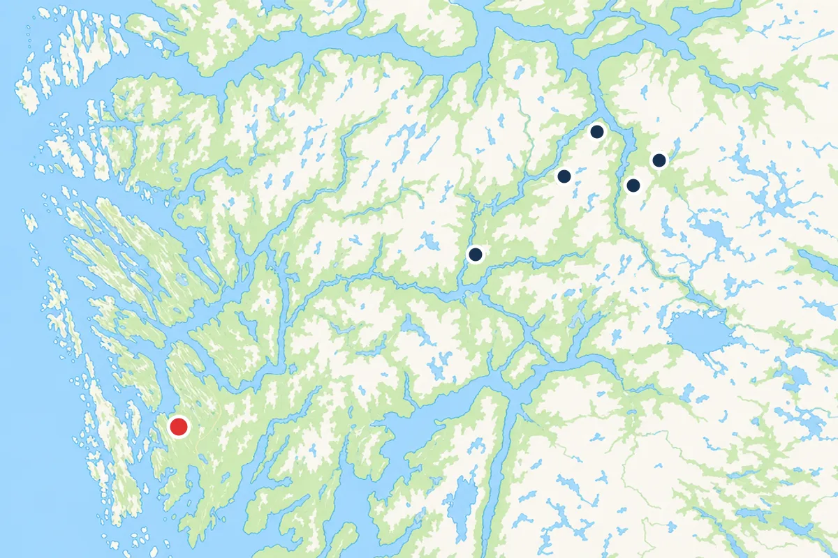
Tvindefossen is one of the early stops. It sits close to the road on the Voss side, which makes it an easy first break rather than a detour, and admission is included in the tour price. From there the bus carries on toward Voss and then takes road 7 north into the valley that leads down to Gudvangen. On this stretch the map reads as a single line: Bergen, Voss, Gudvangen, Flam, Stegastein, and back. For anyone planning their own version, a bergen to flam cruise map makes the shape obvious, because the inland road and the water it connects to run almost parallel.
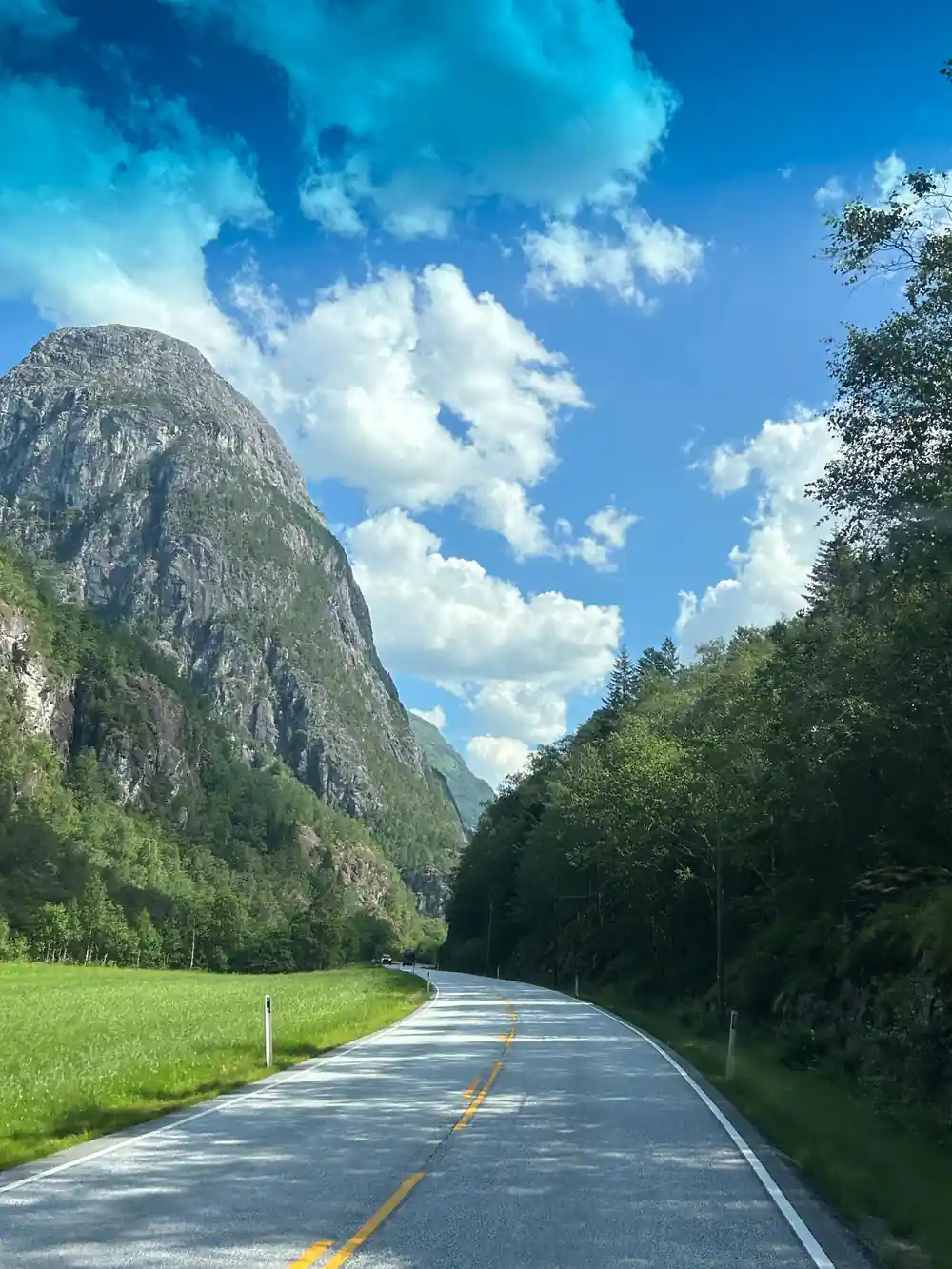
Hairpins climbing away from the fjord towards the viewpoint
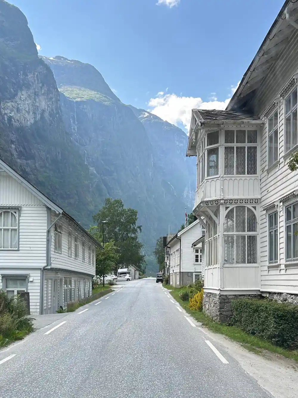
Gudvangen and the Naeroyfjord
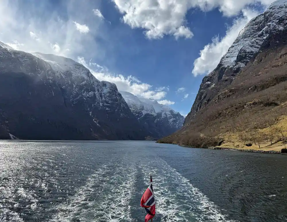
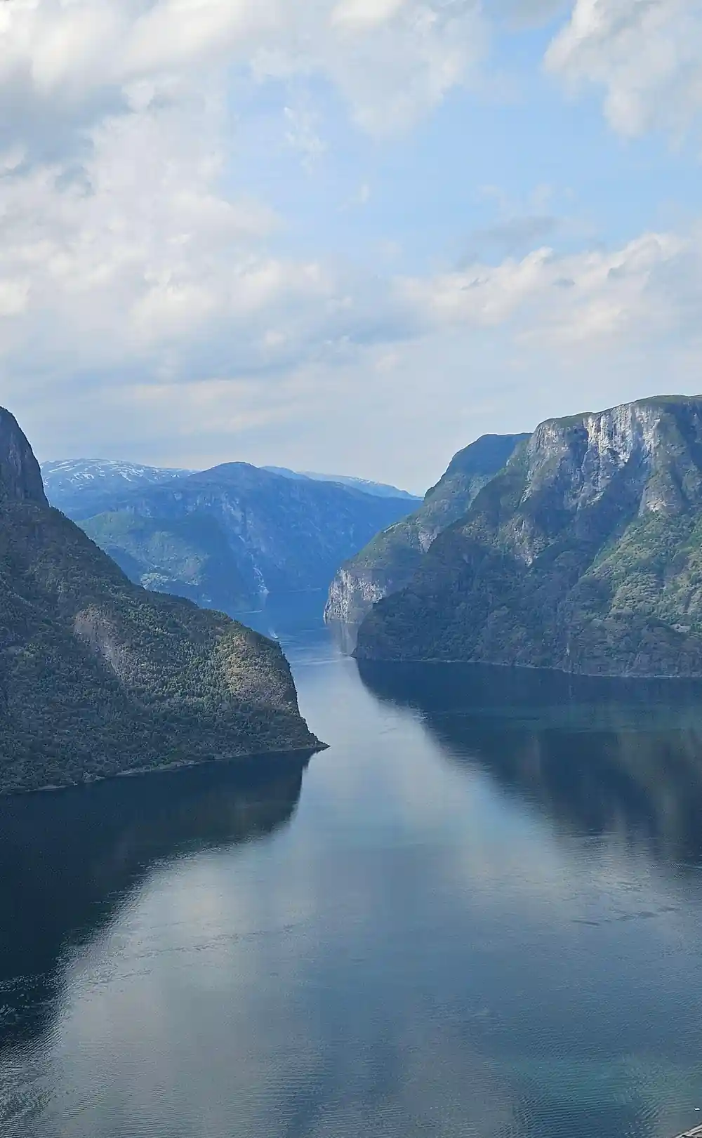
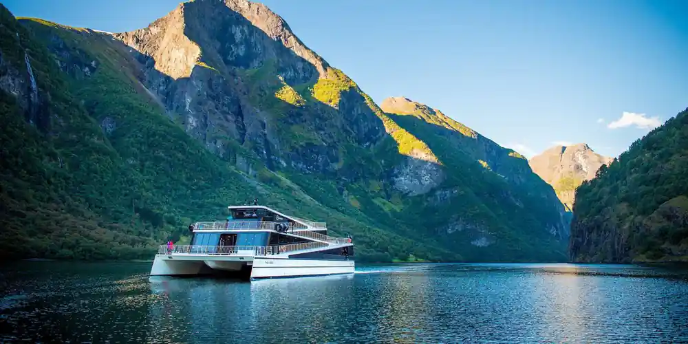
Gudvangen is where the day changes element. The bus delivers the group to the water, and from there the route continues by boat through the Naeroyfjord, a narrow arm off the Sognefjord with steep walls on both sides. The Naeroyfjord cruise ticket is part of the tour price, so the crossing is simply the next stage rather than a separate booking to arrange.
On the water the scale shifts. What was a road with a valley beside it becomes a channel with cliffs above it, and the villages and farms on either side sit at the foot of the rock rather than spread along a shoreline. This is the section most people mean when they talk about the fjord day, and it is also the section that the public options handle differently: the Norled Sognefjord express boat runs a single sailing a day in each direction between April and October, leaving Bergen at 08:00 and Flam at 15:30. A bergen to flam ferry route map shows why the boat feels direct: it is one straight line on water where the road has to bend around mountains.
Flam and the Stegastein platform
Flam sits at the head of the fjord, a small village where the water, the road and the railway all meet. The village is the pivot of the day: the boat comes in, the bus is waiting, and the Flam Railway arrives and leaves from the same pocket of ground. Because it is a through point rather than a destination in itself, the stop is about orientation as much as sightseeing.
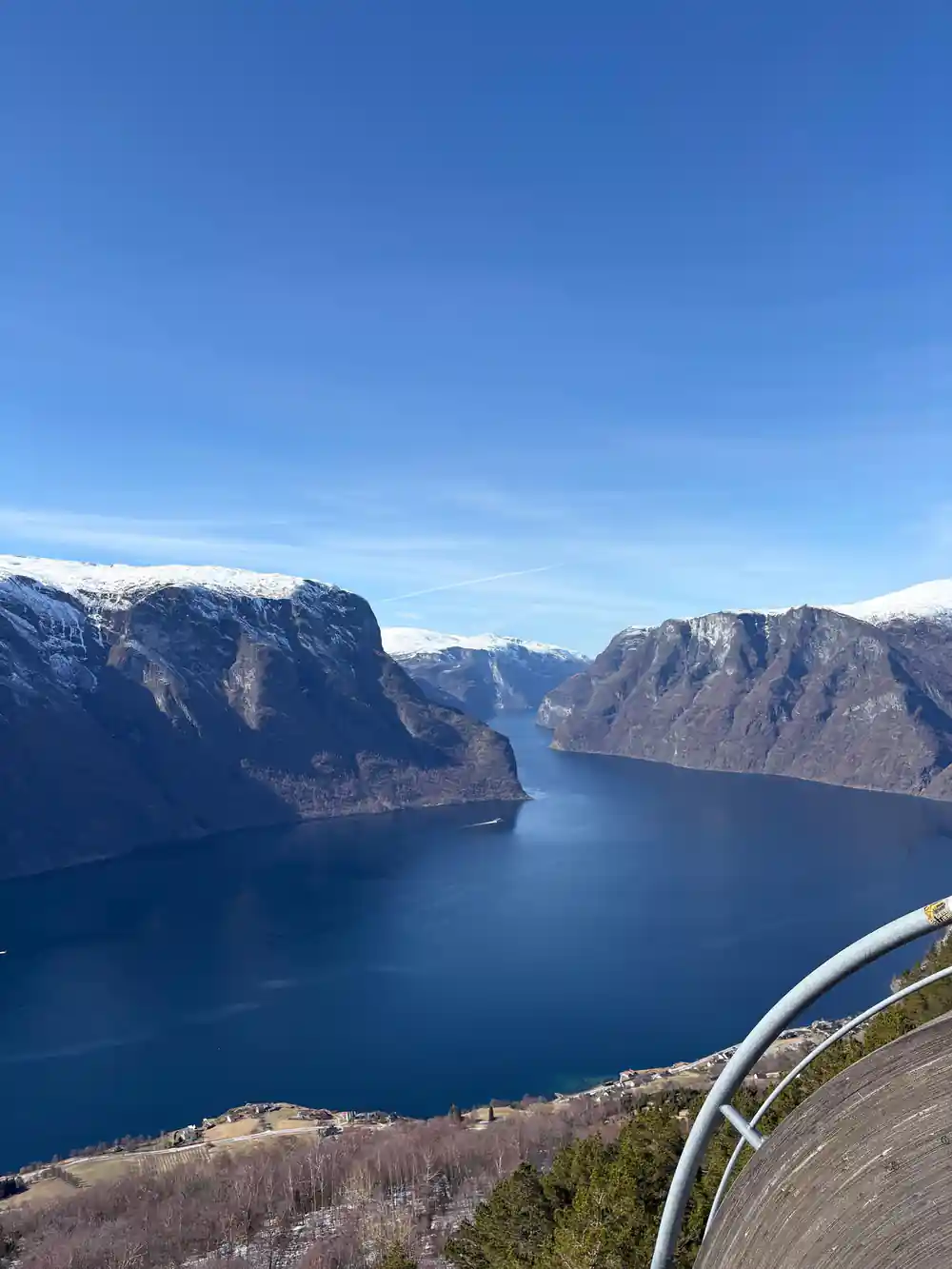
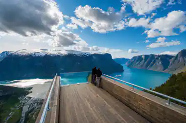
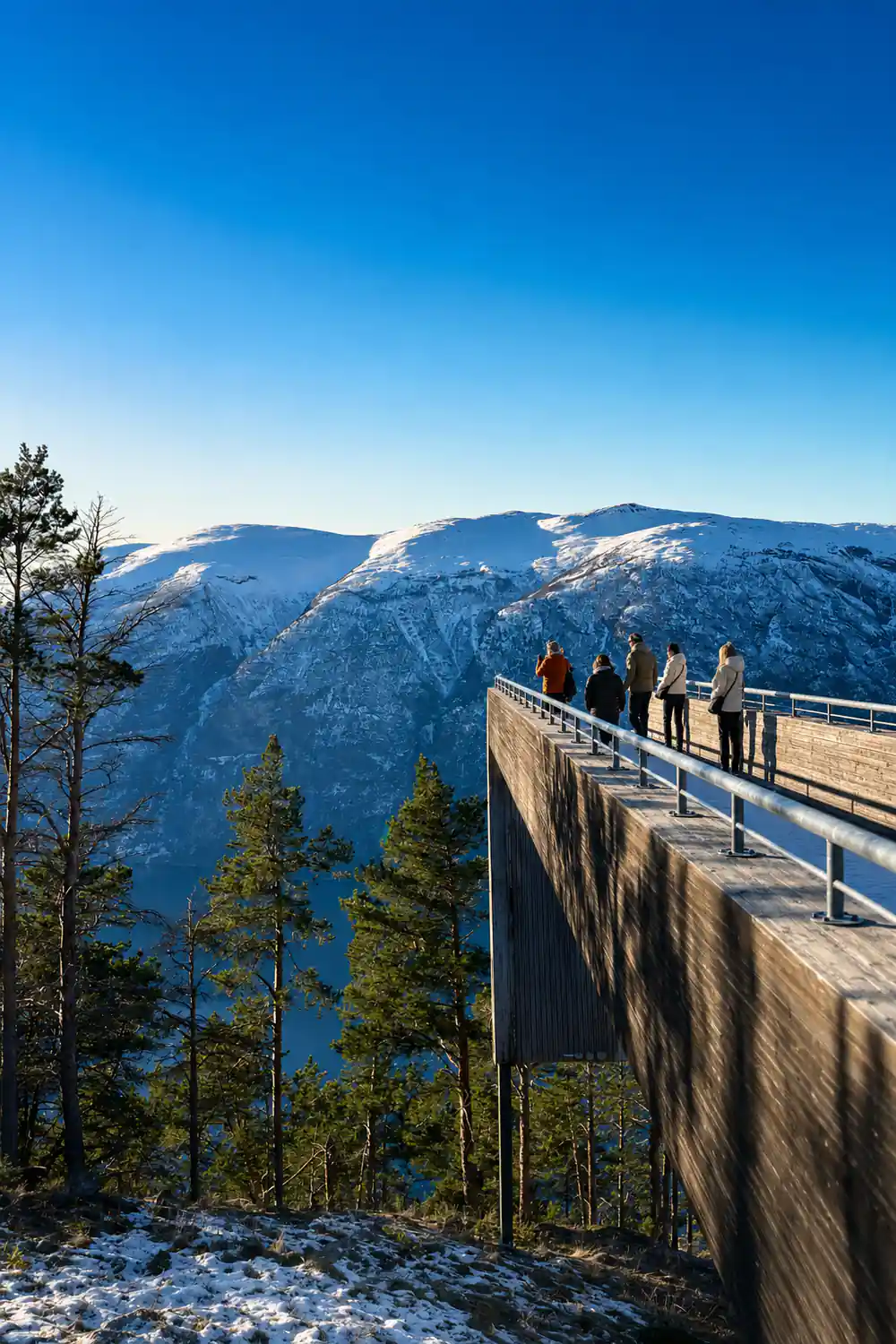
From Flam the road climbs to Stegastein Lookout. This is the platform above Aurland, cantilevered out over the fjord below, and admission is included in the tour price. The view down onto the water the group has just crossed is the payoff for the climb, and it is the last high point before the bus turns back toward Bergen. The full loop is Bergen, Voss, Gudvangen, Flam, Stegastein, Bergen, and the bergen to aurland stretch between the village and the viewpoint is short but steep, which is why it is done by vehicle.
11 hours
The guided day runs about 11 hours from the 08:00 start outside Bergen's Tourist Information, covering road, fjord and lookout before returning to.
The train option and what it costs
There is a second way to cover the same corridor. Vy runs the Bergen Line from Bergen to Myrdal, where passengers change onto the Flam Railway for the descent into Flam. A through ticket booked to Flam includes the Flam Railway leg, so the change at Myrdal is not a separate purchase if it is bought correctly. The journey takes about 2h48 to 4h30 depending on the connection at Myrdal, with about 4 departures a day.
Fares are where the train gets interesting. Vy's cheap advance fare is called Lowfare: released up to 90 days ahead, tied to one departure, and neither refundable nor changeable [2]. It rises as seats sell, toward a walk-up fare several times higher. Quoted examples for Bergen to Flam put it from 779 NOK booked well in advance, and from 810 NOK each way [2], though those two figures measure different tickets and the real fare for a given date only appears on vy.no. The Flam Railway leg on its own runs from 430 NOK one way in low season up to from 510 NOK in high season, and from 620 NOK return in low season up to from 730 NOK in high season.
The boat option and how far Bergen to Flam is
Norled runs the Sognefjord express boat between Bergen and Flam, departing from Strandkaiterminalen. It takes 5.5 hours one way and sails once a day in each direction, 08:00 from Bergen and 15:30 from Flam, between April and October. Adult fares start from 1,295 NOK one way [1], children aged 6 to 17 from 648 NOK, seniors 67 and over from 648 NOK, students aged 18 to 29 from 777 NOK, and under 6s travel free [1].
The coach alternative between the same points is Vy Buss and Nor-Way Bussekspress, with fares from 21 EUR. Skyss city tickets are not valid on these express coaches, and a Skyss single in Bergen is from 51 NOK and lasts 60 minutes. On the question of how far bergen to flam is by the inland route, the driving distance is about 166 km and the driving time about 2h32, with tolls under 100 NOK for the route [3]. The same corridor includes the Laerdal Tunnel, which is free and is the longest road tunnel in the world at 24.5 km, with an 80 km/h limit and no overtaking [3]. Note that from autumn 2026 to autumn 2028 the Laerdal Tunnel closes to traffic between 18:00 and 06:00 [3].
How to read the map before you book
The corridor has three usable layers. By road it is the E16 to Voss and then road 7 into Flam, about 166 km and about 2h32 of driving, with stops that turn it into a full day. By rail it is Bergen to Myrdal on the Bergen Line and then the Flam Railway down to the village, roughly 2h48 to 4h30 depending on the connection. By water it is the Norled express boat, one sailing a day each way in season and 5.5 hours one way. The guided bus tour strings all three environments into a single 11 hour day instead of forcing a choice between them.
That matters because the three layers see different things. The road gives you the waterfall at Tvindefossen and the climb above Aurland to Stegastein. The railway gives you the switchbacks below Myrdal. The water gives you the Naeroyfjord walls from below, and the Stegastein platform gives them back to you from above later the same afternoon. If you are mapping it yourself, the bergen to flam cruise map you draw will have one inland line and one water line, and the day is essentially the business of crossing from one to the other and back.
The road, leg by leg
About 166 km of road in total, plus the Laerdal Tunnel, the longest road tunnel in the world.
What the road costs to drive
"From" prices. Tolls on the route come in under 100 NOK; the Laerdal Tunnel itself is free.
What closes on the route
The day, in order
Meet in Bergen
Outside the Tourist Information at 07:50 for an 08:00 start, with a live English speaking guide.
Tvindefossen
First stop on the E16 side of Voss, with admission already covered by the tour price.
On to Gudvangen
Road 7 runs north down the valley to the water, where the bus hands over to the boat.
Naeroyfjord cruise
The narrow arm off the Sognefjord, crossed on the cruise ticket included in the price.
Flam and Stegastein
Flam at the fjord head, then the climb to the Stegastein platform above Aurland.
Back to Bergen
The return leg by road closes out a day of about 11 hours in total.
Book the guided Bergen fjord day
from US$312Reserve now & pay later