Quick summary
- UNESCO inscribed the West Norwegian Fjords in 2005, and the Nærøyfjord is the narrow arm of that listing.[1]
- Its walls climb to 1,400 m above the water and the property beneath the surface drops 500 m below sea level.[1]
- At its tightest the fjord is 250 m across, wide enough for one lane of water and not much else.[1]
- The World Heritage property covers 122,712 ha, and 10,746 ha of that figure is sea.[1]
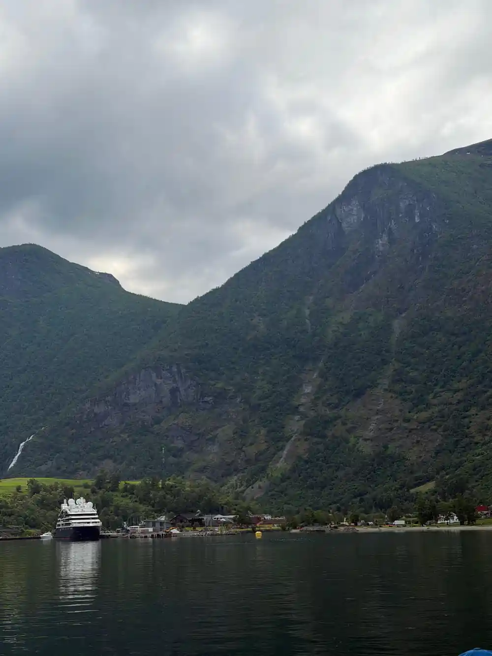
- An hour on this water is mostly vertical: cliff, snow patch, waterfall, then the next cliff.
- Top choice Guided day tour About an hour, scheduled Departs fromBergen, Tourist InformationBooking currencyUSD, from 311.47Guide on boardLive English guide all dayOther stopsTvindefossen, StegasteinFood and drinkNot included at any stopWeather policyRefund or reschedule if poorGreat forOne day, no planning Check availability
- Norled express One segment of a longer route Departs fromBergen, pierBooking currencyNOK, seasonal faresGuide on boardNo guide, standard serviceOther stopsNone on the fjord segmentFood and drinkBuy on board if offeredWeather policyStandard operator policyGreat forCity to city travel See this tour
-
 Gudvangen ferry
Full crossing, about an hour
Departs fromGudvangen or FlamBooking currencyNOK, seasonal faresGuide on boardNo guide, standard serviceOther stopsNone, crossing onlyFood and drinkBuy on board if offeredWeather policyStandard operator policyGreat forThe narrows only
Gudvangen ferry
Full crossing, about an hour
Departs fromGudvangen or FlamBooking currencyNOK, seasonal faresGuide on boardNo guide, standard serviceOther stopsNone, crossing onlyFood and drinkBuy on board if offeredWeather policyStandard operator policyGreat forThe narrows only
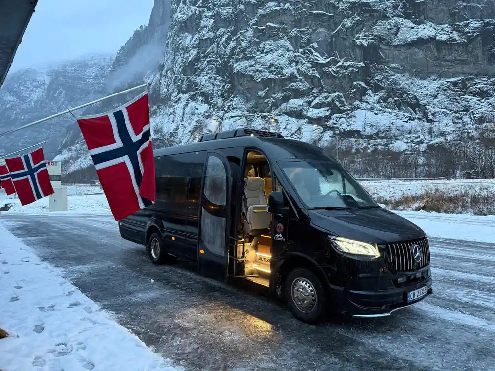
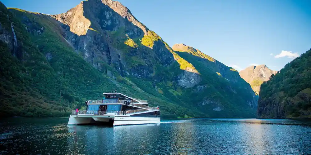

The zero-emission requirement will contribute to technological development and lower emissions, while also ensuring that the spectacular World Heritage fjords remain attractive tourist destinations.
Which way onto the water
Included in tour
- Air-conditioned bus for the full day
- Nærøyfjord cruise ticket
- Admission to Tvindefossen
- Admission to Stegastein Lookout
- Live English-speaking guide
- Free cancellation up to 24 hours before
Not included
- Food and drink at every stop
- Alcohol may not be carried in the vehicle
- Children under 4 are not allowed
- Tour needs a minimum number of travellers
- Tour needs good weather or is refunded or rescheduled
What the UNESCO listing actually covers
The Nærøyfjord is not a standalone World Heritage site. UNESCO inscribed the West Norwegian Fjords in 2005, and the listing pairs the Nærøyfjord with the Geirangerfjord roughly 120 km away, treating the two as the finest surviving examples of the fjord landscape.[1] The property itself covers 122,712 ha, of which 10,746 ha is sea, and it sits inside a broader fjord landscape that runs about 500 km from Stavanger to Andalsnes.[1]
That last number matters when you are planning. The protected area is not a small park around a viewpoint. It is a corridor of water, cliff and plateau, and the boat puts you in the middle of it rather than at the edge. A fjord seen from a road is a picture. The same fjord seen from sea level is a set of measurements you can feel: the wall above you, the water below, and the knowledge that the rock keeps going down well past the keel.
How narrow and how deep
The dimensions are the reason this arm gets its own name. The walls rise up to 1,400 m from the sea, and the same rock extends 500 m below sea level.[1] Width ranges from 250 m to 2.5 km depending on where you are in the run.[1] In the narrowest section you are looking at a channel 250 m across with more than a kilometre of stone on either side, which is why the light behaves strangely and why the wind can arrive from a direction you did not expect.
The 250 m figure is the one to hold on to. It is roughly the length of two city blocks laid across water, and passenger vessels pass through it one at a time. The scale above and below the surface is close to symmetrical: 1,400 m up, 500 m down, 250 m across at the pinch point.[1] Ferries and cruise boats that sail here are working inside a slot in the landscape, not on open water, and the sensation of that is the main thing the fjord gives you.
What sails the water
Two kinds of boat put travellers on this fjord. The Gudvangen to Flam ferry is the classic short crossing, running the length of the arm between the two villages and timed so you spend the bulk of the trip inside the narrows. The Norled express boat is the longer-distance option, sailing between Bergen and Flam on the Sognefjord route and reaching the Nærøyfjord as part of a bigger run through the region.[2]
The two experiences are different in kind. The flam gudvangen ferry is a single unbroken hour on the fjord, with nothing to do but watch the walls. The express boat treats the fjord as one segment of a longer journey, which means you arrive at the narrows already settled into a seat and already adjusted to the water. Both put you on the same surface at the same scale, and both are seasonal, so timetables change with the year.[2]
For travellers coming from the city, the practical pattern is a bergen to nærøyfjord run that combines road and water, or a rail and water combination through Flam. The ferry naeroyfjord segment is the point of the whole exercise. Everything before it, the bus, the train, the waiting at the pier, is transport to a place where the boat is the only sensible way to look at the landscape.
250 m
The narrowest point of the Nærøyfjord, between walls that rise 1,400 m above the water and continue 500 m below it.[1]
An hour on the water, minute by minute
The first ten minutes are the adjustment. You leave the pier, the engine note settles, and the scale starts to register: the walls do not get closer so much as they get taller, and the snow patches that looked like small marks from land turn out to be substantial. Because the fjord narrows from 2.5 km down to 250 m, the view changes continuously without any single dramatic moment to wait for.[1]
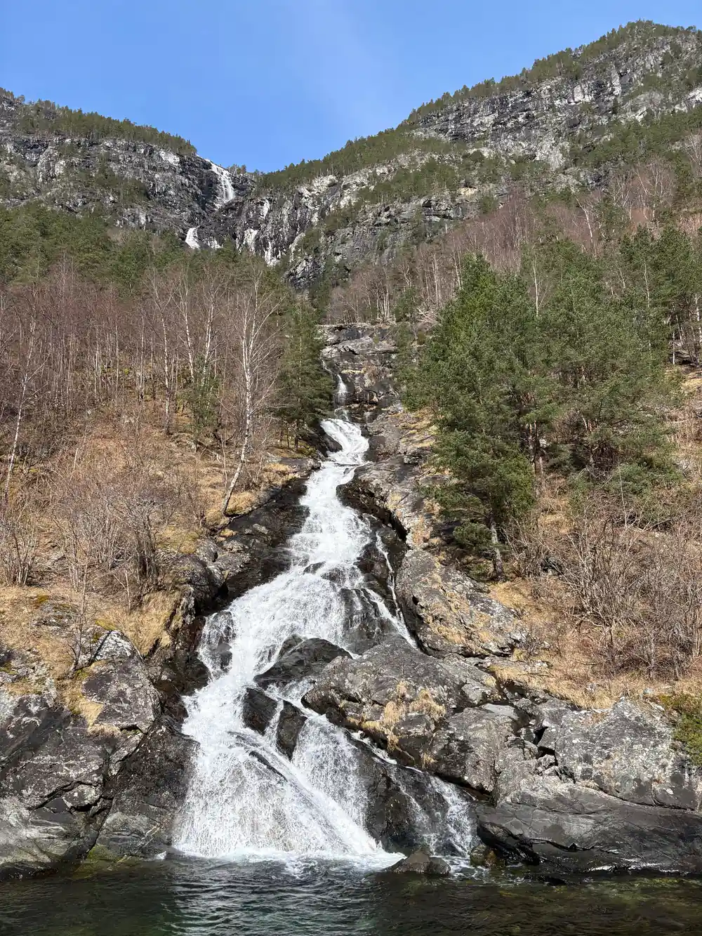
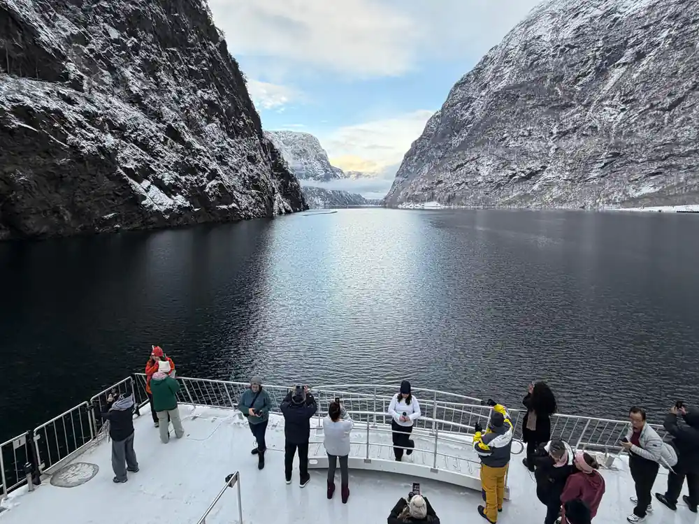
The middle of the crossing is the narrows. This is where the boat slows and where most people end up on the outside deck. Waterfalls drop directly into the fjord from ledges high above, and the cliffs are close enough that you can see the individual rock faces rather than a general wall of stone. If you have read about the 1,400 m walls and the 500 m depth, this is where the numbers stop being abstract.[1]
The final stretch opens out again toward the wider water, and the light changes as the channel releases you. An hour is the honest duration for the core crossing, and it is enough. There is no interior to see, no stop to make, no exhibit. The fjord is the exhibit, and the boat is the only way to be inside it rather than beside it.
What you actually see from the deck
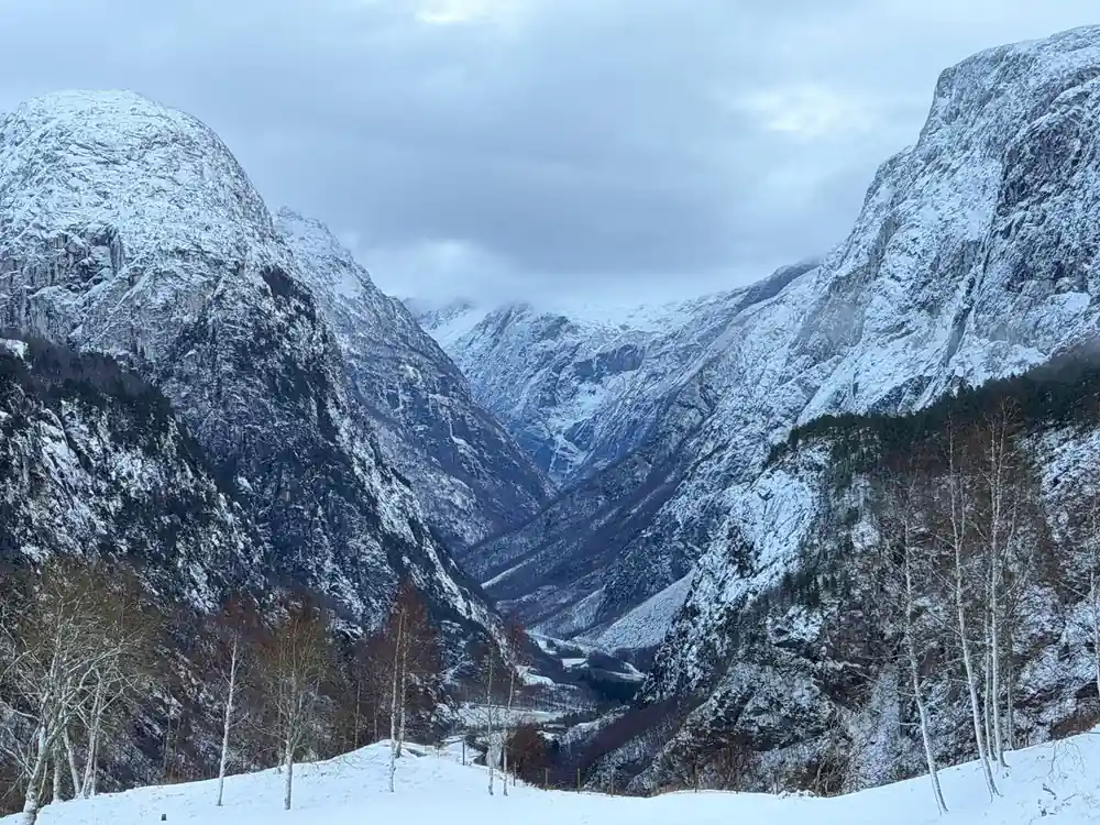
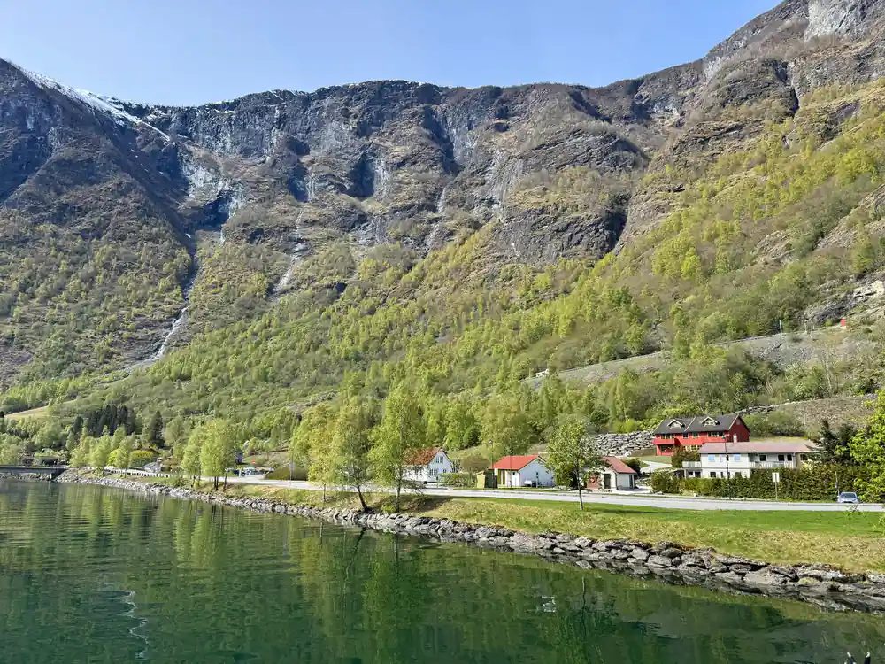
Expect vertical rock, thin waterfalls, small farms on ledges above the waterline, and snow on the higher ground well into the season. Because the property extends 500 m below the surface and 1,400 m above it, the visible band you are looking at is only part of the protected volume.[1] You will not see the underwater portion, but you will see enough cliff to understand that the fjord continues in both directions from the waterline.
Wildlife is occasional rather than guaranteed. Seals appear on rocks, sea eagles cross the channel, and the water itself is dark and cold. What is guaranteed is the geometry: the 250 m narrows, the walls, and the sense that you are moving through a corridor that was cut by ice and has been left largely alone since. The UNESCO listing in 2005 was recognition of exactly that.[1]
Photography from the deck works best in the narrows, where the walls fill the frame and there is enough light on the water to hold detail. In the wider sections the fjord opens up and the shots flatten out. If you want one image of the Nærøyfjord, take it in the middle of the crossing.
How this fits a guided day from Bergen
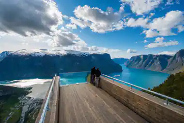
The guided bus tour from Bergen builds the fjord into a full day rather than treating it as a standalone trip. You meet outside the Tourist Information at 07:50 for an 08:00 start, travel in an air-conditioned bus, and the cruise ticket for the Nærøyfjord is included in the price. Admission to Tvindefossen and to the Stegastein Lookout is also included. Food and drink at every stop are not included, and alcohol may not be carried in the vehicle.
The day runs about 11 hours with a live English-speaking guide, and the tour is priced from 311.47 USD per person. The fjord cruise is the centre of the itinerary, not an optional extra, and the Stegastein platform gives you the fjord from above later in the day as a counterpoint to the hour you spent on the water.
Two conditions are worth knowing before booking. The tour needs good weather or it is refunded or rescheduled, and it needs a minimum number of travellers to run. Children under 4 are not allowed. Free cancellation is available up to 24 hours before departure with a full refund. The fjord number to remember is still 250 m at the narrowest point and 1,400 m at the highest wall, because that is what the day is built around.[1]
Choosing between the ferry options
If your only goal is the Nærøyfjord itself, the flam to gudvangen ferry puts you on the narrow arm for the full crossing and is the most direct way to see the narrows. If you are travelling between cities and want the fjord as part of a longer journey, the Norled express boat between Bergen and Flam is the relevant service, and it runs seasonally with fares published in NOK.[2] The guided day tour is the third route, and it differs in that the water time is scheduled around road stops rather than being the entire product.
Costs sit in different currencies depending on the operator. Norwegian boat fares are quoted in NOK, while the guided tour is quoted in USD from 311.47 per person. Neither figure should be treated as a final quote; both are starting points that move with season and availability.
The right choice depends on how much of the day you want to give to the water. One hour of fjord is the core experience in every version. The question is what surrounds it: a train, a bus, a longer boat journey, or a guided itinerary with viewpoints attached.
The Naeroyfjord by the numbers
Figures from the UNESCO World Heritage listing for the West Norwegian Fjords.
What reaching the UNESCO arm costs
Every figure is a "from" price. Only the guided day includes the fjord cruise in a single booking.
When the fjord is reachable
How the day unfolds
Meet at 07:50
Outside the Tourist Information, ready for an 08:00 departure.
Tvindefossen stop
Admission included, waterfall seen from the bus route.
Fjord cruise
Nærøyfjord cruise ticket included, about an hour on the water.
Stegastein Lookout
Admission included, the fjord seen from above.
Return to Bergen
Full day runs about 11 hours with a live English guide.
See the Nærøyfjord from the water on a guided day
from US$312Reserve now & pay later